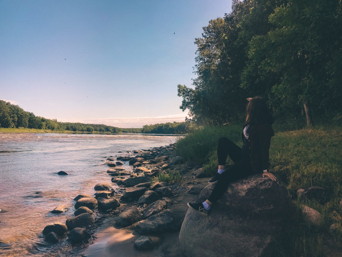
Once I returned from D.C., it was back to exploring.
I had a free weekend and an ambitious goal: to make it to the Northernmost State Recreation Area in Minnesota.
Which, spoiler alert, I did not.
Garden Island State Recreation Area is, as its name implies, an island. Which means it’s only accessible by boat in the summer, and snowmobile in the winter.
I mapped out the perfect route to the tip of the state, where Garden Island is, mapping out driving times and guesstimating how long I would spend at each park, in hopes that I could not only reach Garden Island, but efficiently hit nine other State Parks that weekend. I planned to hike all day and drive all night, and that I certainly did!
However, I did not do my research on how I would actually gain access to Garden Island, and hoped that I could Yes Theory my way onto a boat somehow.
Editor’s note: If you don’t know who Yes Theory is, you need to. Click here to be inspired by a group of kind-hearted, adventurous gentleman who believe, as I do, that life begins just outside of your comfort zone. And then please come back here and continue reading after you get sucked into a vortex of fun and inspiring videos on their channel.
Anyhow, my thought was that I would drive up there, get the lay of the land, and ask the park ranger if there were any nearby boats or folks that might be willing to go on an adventure to what I mistakenly assumed was an island that I could view by land. Which it is not. But we’ll get there later.
First, my aunt and travel companion Denise and I drove to Fargo late on a Friday night to get a head start on the large amount of driving that we’d need to do. This was the best planning decision we made during the whole trip, as it allowed us to get up bright and early and start our hiking adventure right away. We began at Buffalo River State Park, which I adored.
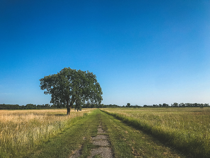
Some people say that the first bite out of an apple is the best, because it’s the first sweet taste of something cool and crisp. That’s kind of how Buffalo River State Park felt – the rest of our metaphorical apple was great, and our hikes were fantastic, but there was something about that first hike that felt particularly rejuvenating. Shedding life’s worries and stepping out into the trails through the prairie truly felt like a breath of fresh air in every sense, and I began to feel the familiar giddy sensation of freedom.
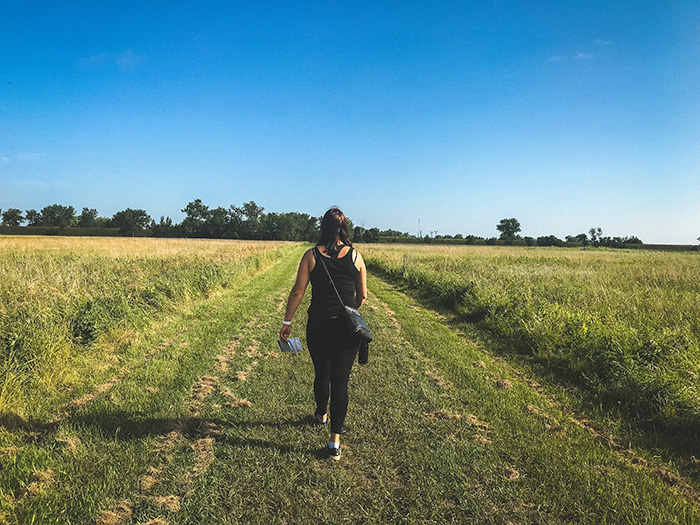
We walked through tall grasses in the prairie, and I marveled at how flat the landscape was.
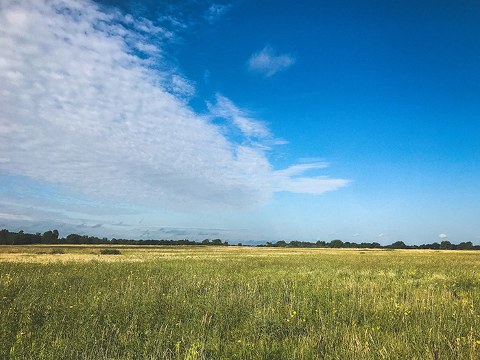
It was the perfect day, and it felt good to be outside.
We eventually hit something that I found very exciting, which was a sign that said “DANGER.”
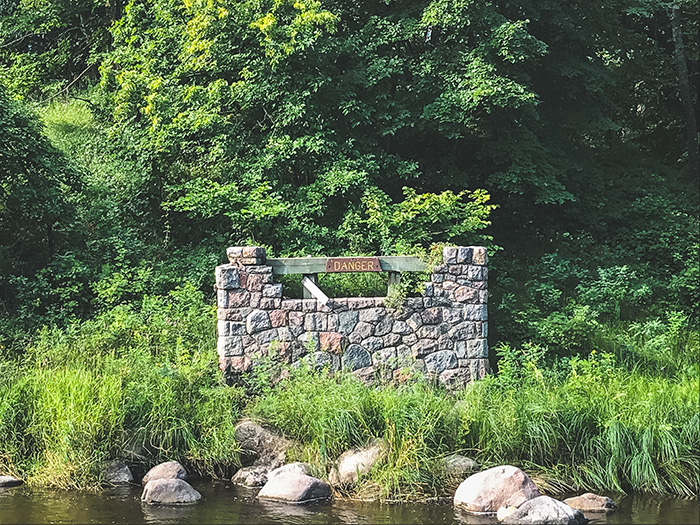
I wonder what happened here.
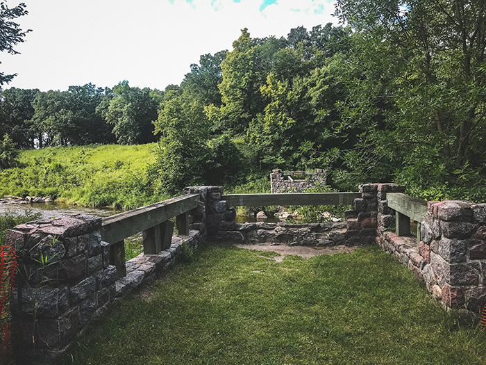
Something not great for the bridge.
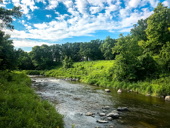
It looked like it would have been a fun bridge, so I was kind of sad that it was gone. However, the landing area that stretched just out over the river before it was blocked off provided a nice view of the river that I enjoyed.
We also found a little man-made lake that they had drained, which was bizarre to look at.
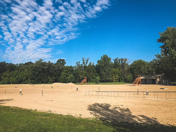
You could see where the varying depths of the lake were, as the sand would dip and rise in different areas. We felt like we needed to run around it and find the deepest part of where the lake would have been, so we did, just before playing lifeguard.
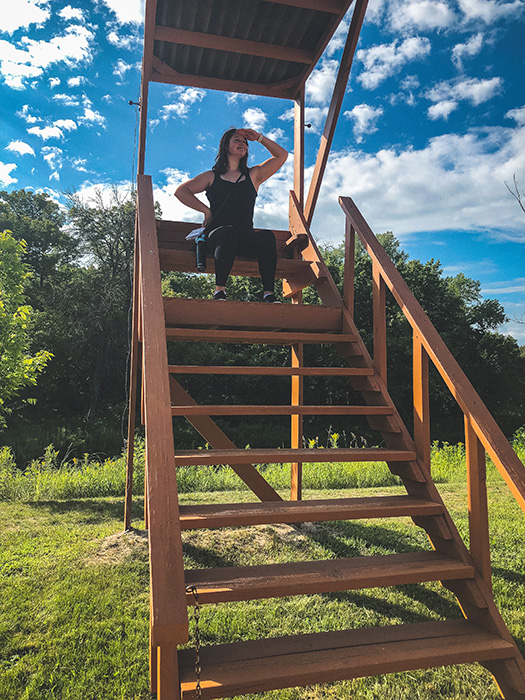
We are children.
Having spent a nice amount of time acting like idiots in a very beautiful place, Denise and I headed to our next stop: Old Mill State Park.
Old Mill had a lot of cool historic buildings with really great, informative signage about the area. When we arrived, it was quiet and peaceful, and there were three huge deer in the landing with the old buildings. They stared at us for a moment before quickly leaping into the woods.
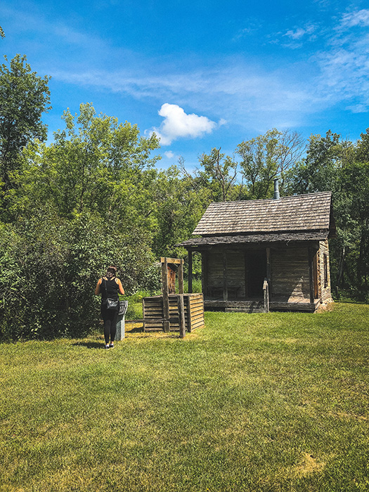
We checked out the various buildings before tracking down their cool stone bridge. Having not been able to cross the “DANGER” stone bridge at Buffalo River, we were excited to get to Old Mill’s bridge.
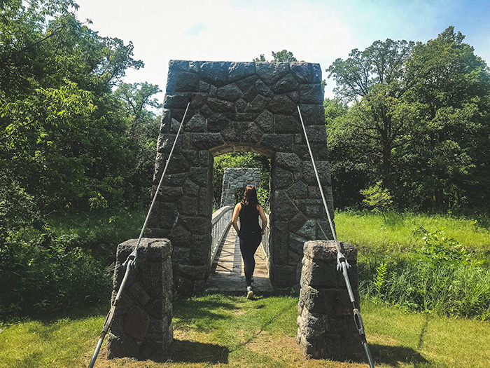
I was very excited to see that it was a suspension bridge, as I love them. Particularly jumping around on them. Which is perhaps not advisable, and maybe why the Buffalo River bridge was brought to its untimely end.
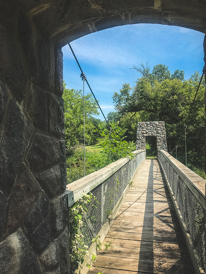
We spent most of our time here checking out the historic buildings and playing on the bridge.
Keeping to our schedule, we checked out Lake Bronson State Park next.
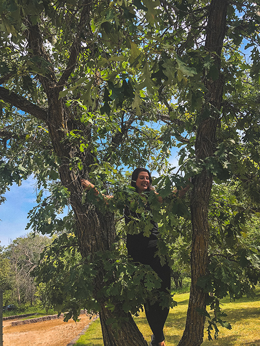
We were a few hours into our adventure at this point, so we were getting a bit antsy in the car. So we decided to climb trees, because that seemed like the thing to do!
We had to check out the lake the park was named for, of course.
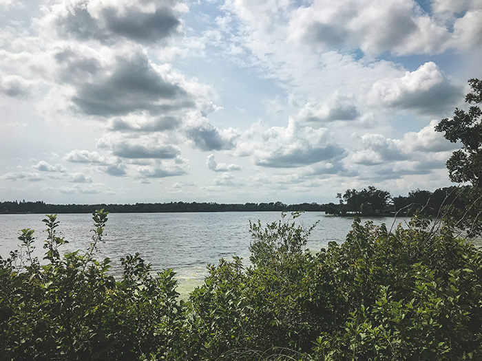
It was super beautiful. I had a lot of energy that I needed to expend, so I ended up going for a quick jog down one of the paths around the lake before I could wrap my mind around getting back into the car for a few hours.
We also wanted to check out the observation tower at the park, but we were disappointed to find out that the building was closed.
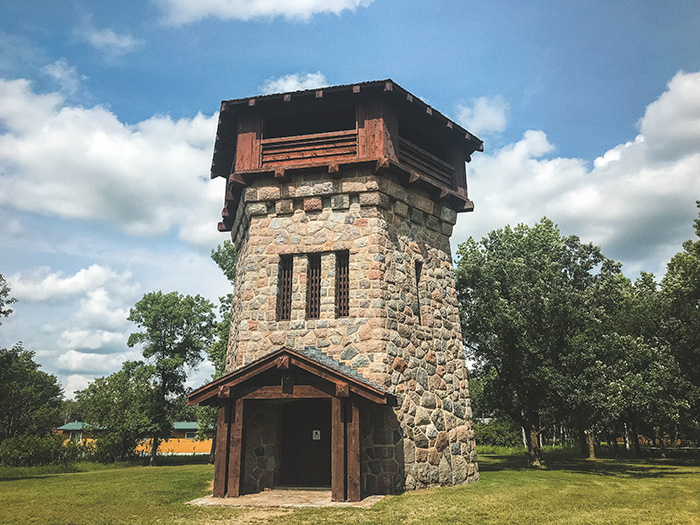
They were doing some kind of construction or renovations on the building, but I’m guessing it would have had a stunning view of the lake.
Next up on our docket was Hayes Lake State Park.
When we arrived, this pretty butterfly started following me around.
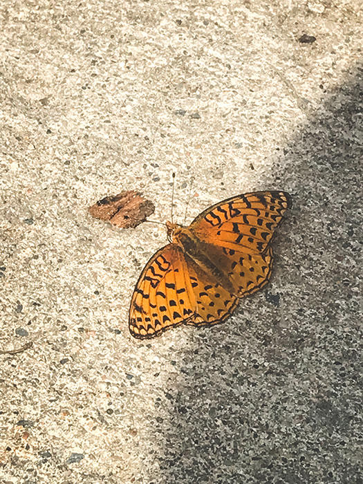
The pattern on its wings reminded me of leopard print. I tried to pick it up, but he or she or it kept fluttering around me.
We made our way to the lake, and found another stunning Minnesota lake view.
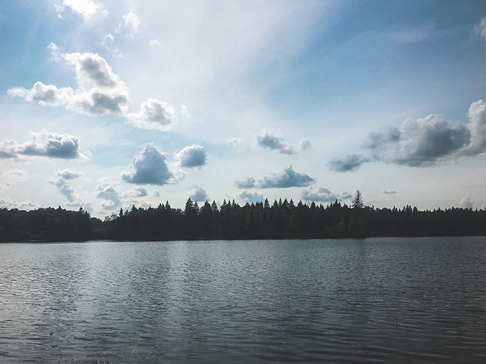
That’s a nice blue sky and some crisp lake waves, right there.
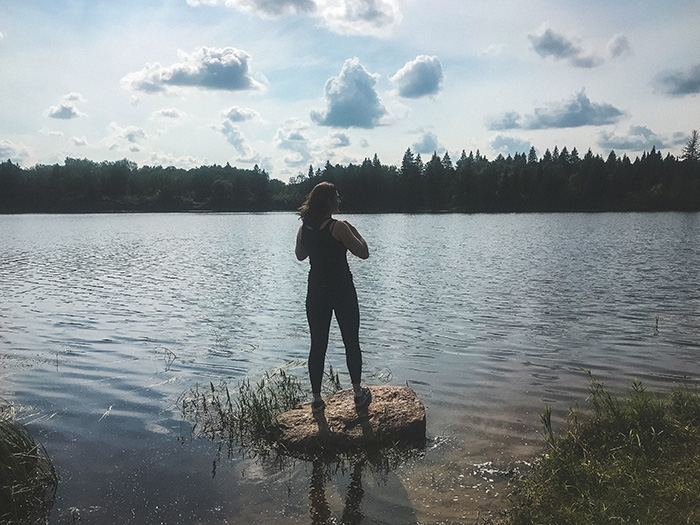
I jumped out onto this rock, which was just far enough from shore for me to question if my long legs were truly long enough for me to hop over to it, but luckily I didn’t slip and fall into the lake!
On one of the trails by the lake, they had a super sweet sign that was definitely handmade for them. I’ve never seen anything else like this at any other State Park, and at the time of writing this, I’ve been to 73/75 of them.
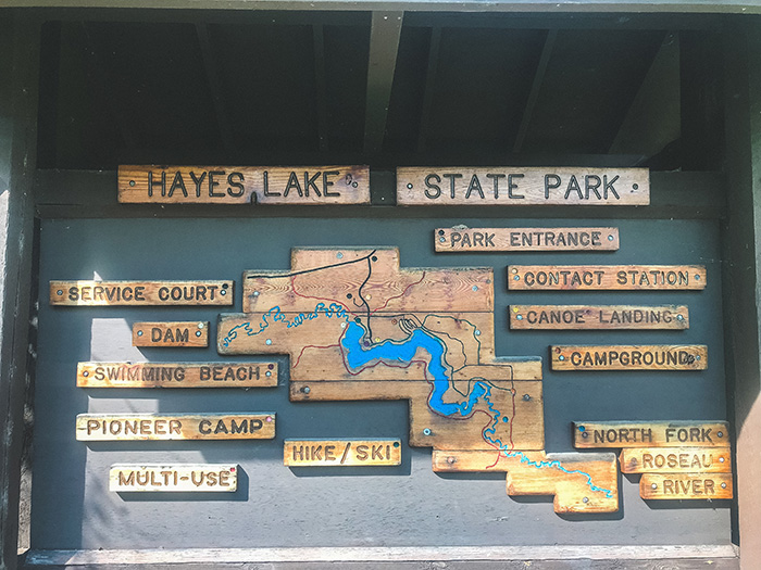
I thought it was really unique and beautiful.
After we’d had our fill of Hayes Lake, we began the drive to Zippel Bay State Park. Along the way, we stopped at a cute little drive-in burger stand, where we had some pretty decent burgers, fries, and shakes, which were delicious after a day of hiking.
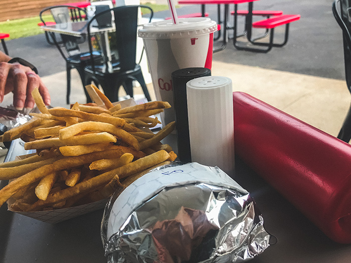
Shoutout to Earl’s Drive-In for coming through.
Throughout the last few hours of our drive, we saw field after field of sunflowers, which was gorgeous. As we drove down a quiet dirt road, I spotted a little area that you could walk close to the sunflower fields without actually walking out onto it, so we pulled over and snapped a few photos.

It was really bright and cheery!
Finally, we made our way to Zippel Bay State Park, which would be our last of a very busy day.
When we arrived, the park ranger told us that the stamp for Garden Island State Recreation Area was located there, but you couldn’t actually access the island from there, as it was a whopping twenty miles from shore. So that put a bit of a damper on our plans.
We asked if they knew anyone in the area who could take us there, and they said there were some folks at a fishing resort in the area that would, and gave us their name and number. However, the resort is located on the Northwest Angle of Minnesota, which you have to cross through Canada to get to, and which was another hour and a half drive from where we were. After a long day of driving, we knew we didn’t have the time or energy to get there, especially without the promise of having a sure way of getting to the island. With a 6-hour drive ahead of us to get home the next day, we opted to try to hit two more parks the next day, and save Garden Island for another trip.
So, we decided to explore Zippel Bay, and call it a day.
There were lots of birch trees at the park, which I liked.
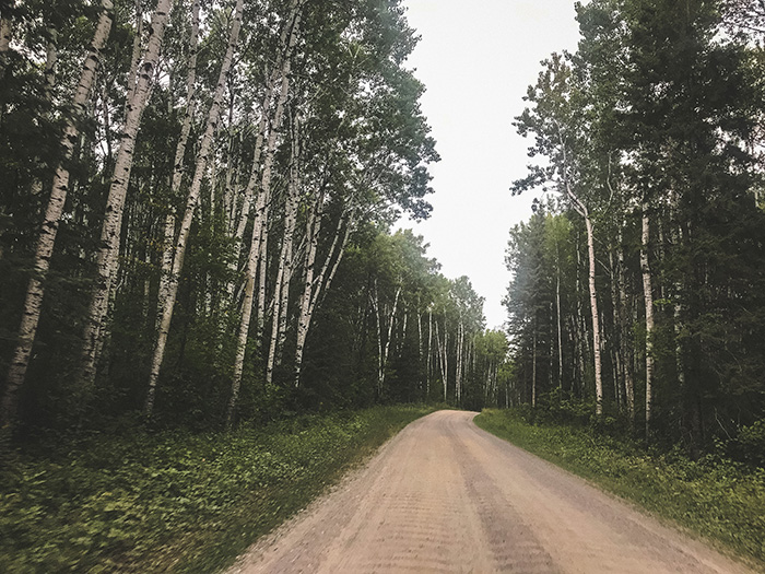
My family moved three times while I was growing up, and at each house, we always had a birch tree in our front lawn that we would take our first day of school photos in front of, so birch trees have always had a special place in my heart.
Zippel Bay was my favorite park of the day, because it was incredibly calm and peaceful. It was getting a little darker, and the lake had a light layer of fog draped across the distant waves.
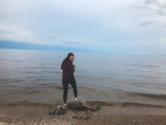
We took a stroll around the bay, and noted that there were a ton of shells strewn across the pebbly beach.
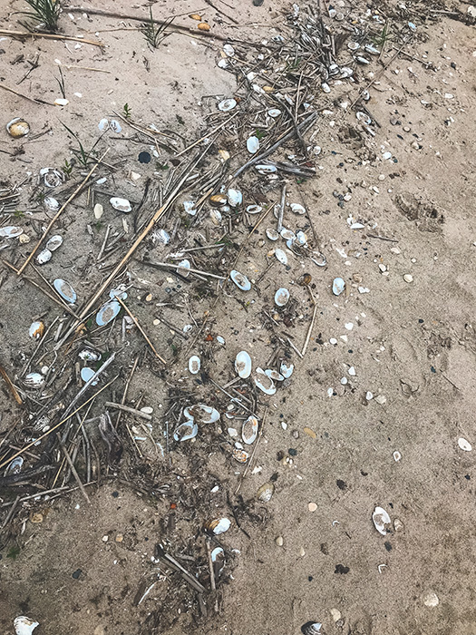
We guessed that with some of the stormy weather we’d been having in Minnesota, the waves were a smidge higher and brought a plethora of shells to shore.
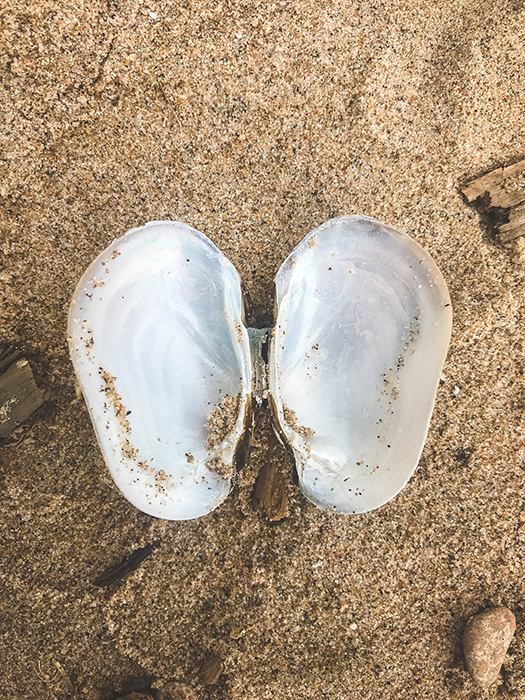
I found a smooth, intact pair that looked like angel wings.
There was a section of the beach that rounded a sharp corner, and around it I could see there was a tree that had fallen down. Suddenly, a giant flash of black blew right past me, and I looked up to see that an eagle had just swooped right in front of me. It flew around the bend and disappeared. I tried to snap a photo of it, but it flew off too quickly.
And that was the first of the eagles! For the next four months, I would see an eagle nearly every single day, and not just while hiking – anywhere. The Twin Cities, driving to Chaska, taking a stroll through town in White Bear Lake. You name it. And it wasn’t always just one eagle. On more than one occasional I saw several per day, with one day in particular racking up a sighting of sixteen individual eagles over the course of a five hour road trip. Apparently it’s a sign of good luck, so if anyone has any ideas on what four months of a daily eagle sighting means, shoot your thoughts my way! Just today I spotted two of them during a twenty minute drive to a neighboring town.
After a refreshing hike along the beautiful bay, we headed back to our AirBNB in Williams. If you ever set out to hike along these Northern Parks, I’d definitely recommend our AirBNB. The general area near these parks was a little rural for my taste, and that’s coming from someone who grew up in a town of 2,000 people. The towns were a little ghost-towny feeling, many looking a little run-down. While Williams is an extremely small area, they have a nice AirBNB that was great to stay in after a long day of hiking. It was bright, cheery, clean, and had a nice TV with Netflix, through which we watched The Emporer’s New Groove, exhausted after a busy day. The place was called the Bad Rabbit Resort (it should really be the Good Rabbit Resort), and you can find it by clicking here if you so wish. The photos on their posting are okay, but the place looks even nicer in person.
The next day, we woke up early to drive to Franz Jevne State Park.
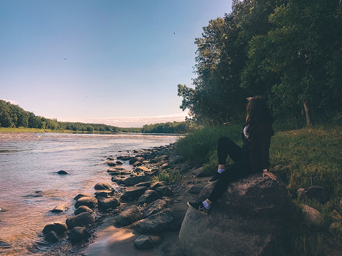
It was super pretty! When we arrived at the park, we got a welcome text message from Canada, despite the fact that we were still in Minnesota. It was still nice to read, though. That Canada, so polite.
We actually found a border marker during our hike, which I had never seen before.
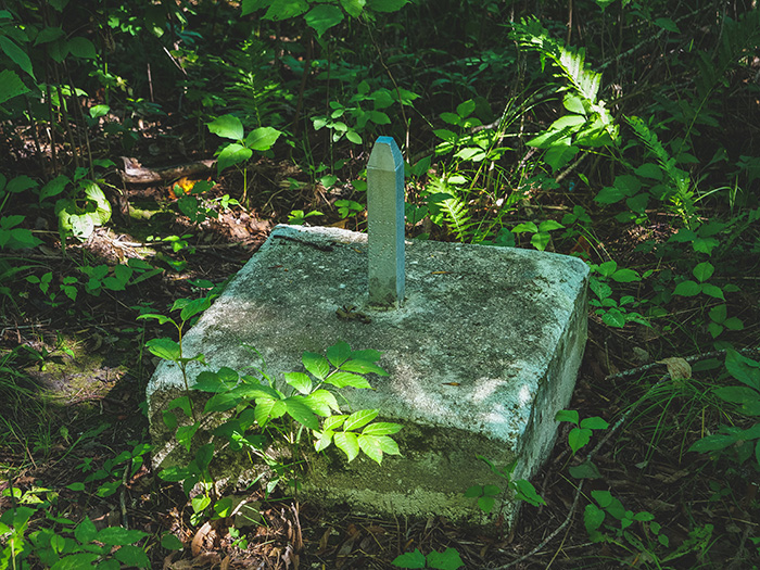
During our hike, we managed to somehow get lost. The trails weren’t marked very well or kept up, so it was a bit of a guessing game as to what was the official trail and what was a trail that someone had made on their own.
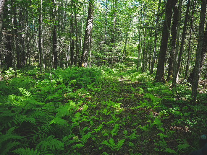
There were also a lot of ferns.
As we walked through the woods, lost with no cell phone service, I tried to stay bear-aware as Denise traipsed through the forest, loudly snapping branches and just generally causing a ruckus, as she does. 🙂
We were definitely in bear country, and I noticed a lot of trees with what I assumed were scratch marks from a bear.
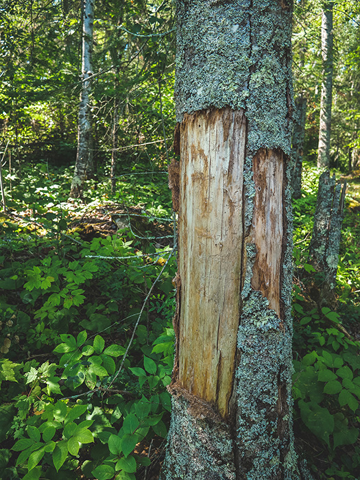
Wasn’t super excited to see them while lost in the woods.
I kept my eyes peeled for bears on the horizon, and cubs in the treetops, but luckily we didn’t spot one until much later, while we were driving along the highway past the park. One casually crossed the road in front of us and ambled into the trees.
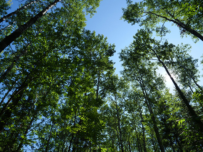
No bear cubs here.
We made a small pit stop in Baudette to visit Willy the Walleye.
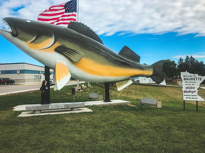
Nice to meet you, Willy.
What a Minnesotan thing to exist.
We also found a shop across the street that was simple yet mysterious.
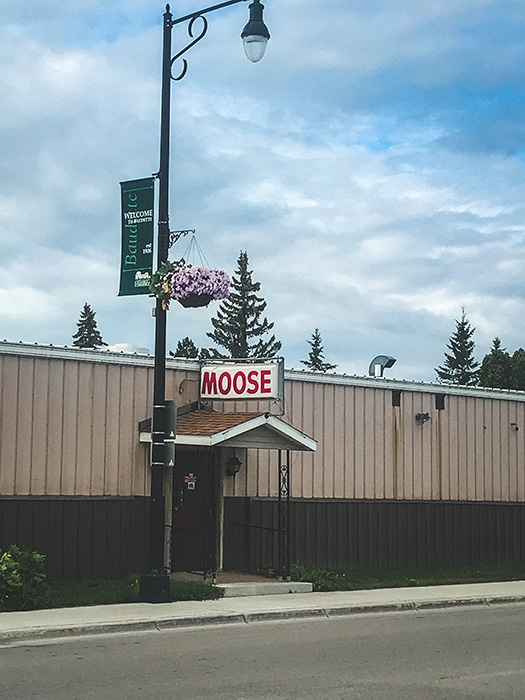
What about moose? I need more context.
Our last stop on our journey was Big Bog State Park. I was very excited to visit this park, as I had never seen a bog, and always wanted to after reading a Sherlock Holmes story that involved one while I was younger.
This park calls itself “Minnesota’s last great wilderness.” It was a fantastic park for sure, but after visiting 73 State Parks, I think saying it’s the “last” great wilderness is a bit of a stretch, especially considering a primary part of the park is a long expanse of a man-made trail hovering over the bog. Just my personal opinion.
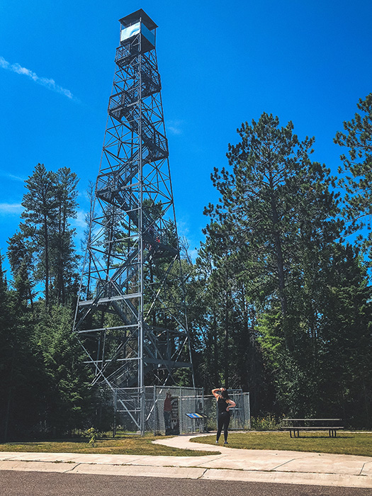
We missed the exit for the bog, and drove straight to the park headquarters, which was fine, as we were able to get our passport stamp and climb the fire tower nearby.
No pressure from a very wide-eyed Smokey, but only you can prevent forest fires.
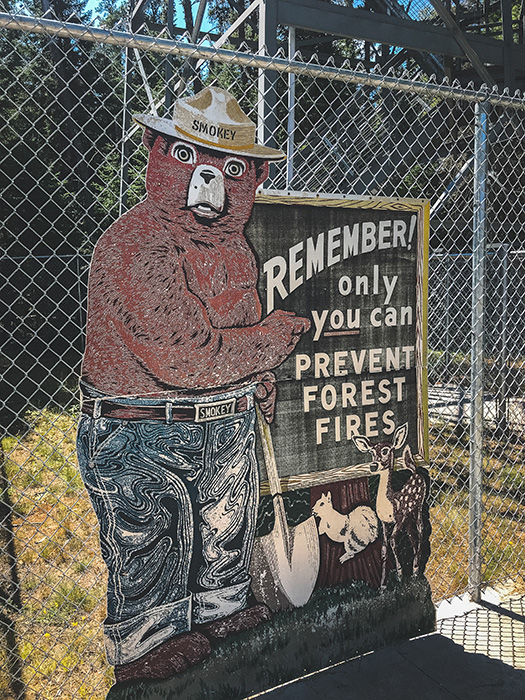
Why does Smokey have a shovel and what is he burying?
Why does he have jeans on but no shirt?
Why do his eyes reflect an inexplicable, blank horror?
We walked around the haunted Smokey the Bear sign and climbed to the top of the fire tower. As all towers are, it was pretty shaky, but it had a pretty view.
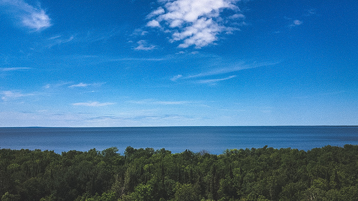
We then turned around and drove back to the bog portion of the park, which has a separate entrance.
You can walk around a little swampy bog near the parking lot, or there’s a separate path that leads you through the larger bog to an ominous point named Terminus. Just where you want to go in the middle of swampy woods!
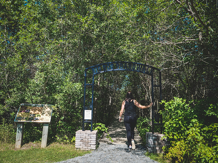
The path starts out through a fairly normal set of woods, and progressively gets swampier.
I had my fingers crossed that we would see some wild moose, as they’re supposed to live in the bogs at this park, but we didn’t see a single moose, which was heartbreaking.
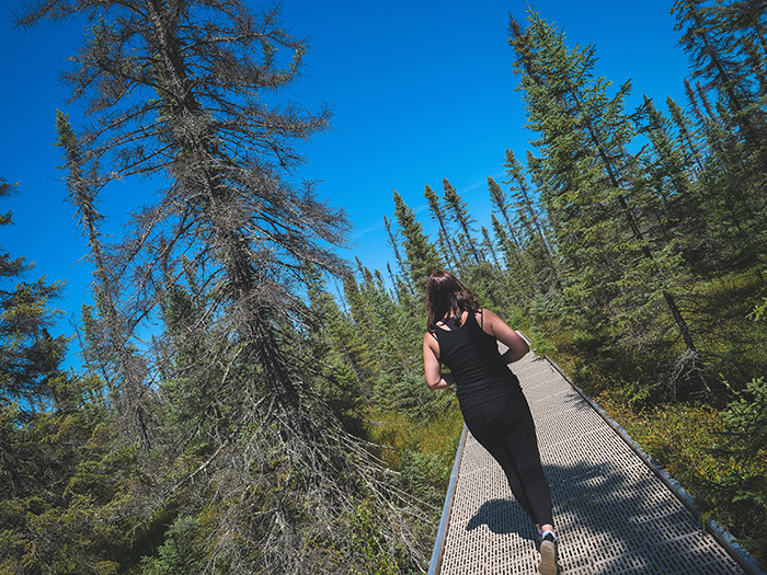
I asked Denise to take a photo of me walking down the path, and then she caught me being an overdramatic spaz when I was walking back to her.
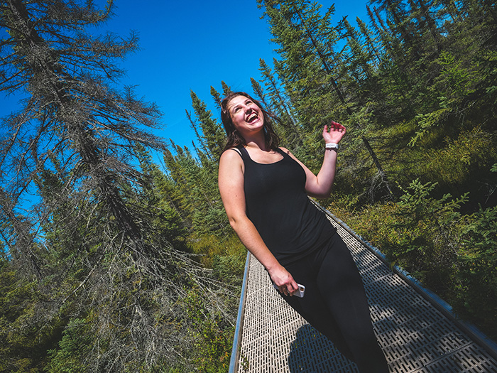
I was trying to do a fake model walk down the “runway.”
Here’s a nice view of the bog, where the moose supposedly live.
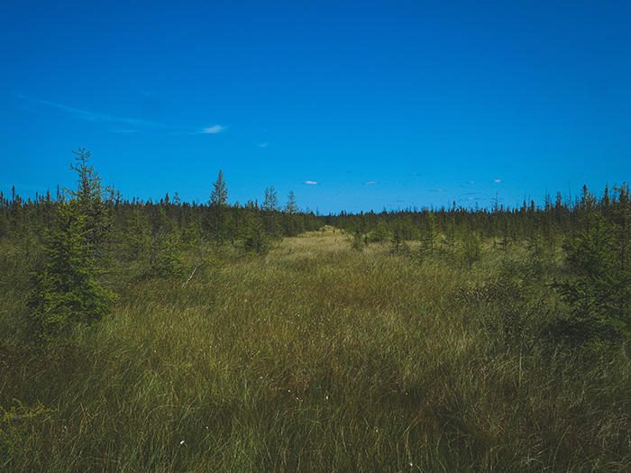
Silly moose.
The path through the bog was really cool. If you step off the path (which I promise I did not), your footprint will apparently stay put for many years. There were a few places that the very informative signs indicated that small divots you could see were actually left behind from the folks who had built the walking path. Pretty crazy!
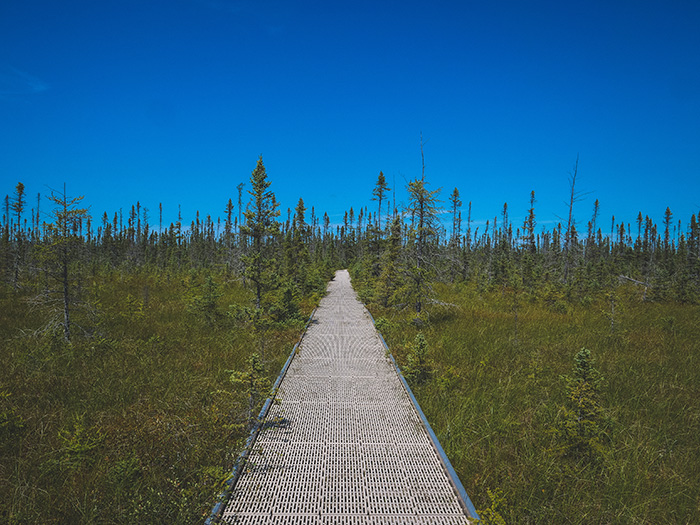
I thought it was a very aesthetically pleasing trail, though.
Along the way, we were promised carnivorous plants by various pieces of signage on the trail. We didn’t see it until the very end of the trail, but it was pretty cool.
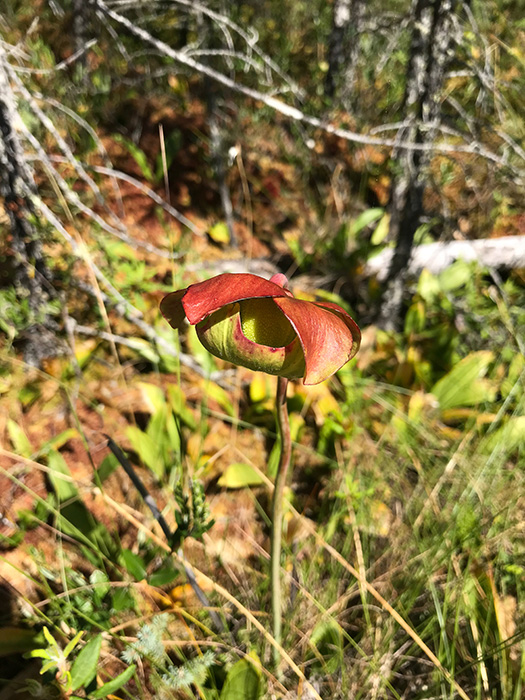
This little guy likes to snack on bugs.
We also saw a very distressing sight for arachnophobes as we neared Terminus.
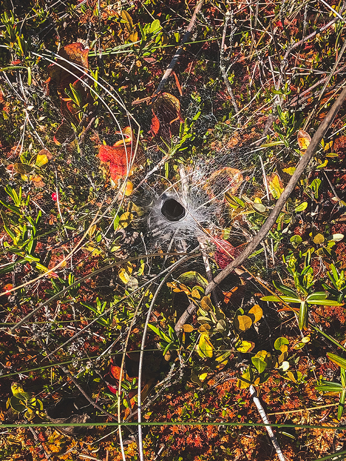
The signage didn’t explain what this was, but it looked like a spiral of cobwebs surrounding one of the carnivorous plants. I wondered if this was the home of the smartest daredevil spider of all time, as it could catch bugs before they landed in the plant’s little mouth, but also risked it’s own life by proximity? That was our best guess, but it felt unlikely. It will remain a mystery until our next visit when we can ask a park ranger!
Terminus was simply a platform at the end of the trail that opened up into a large expanse of bog. There were binoculars everywhere that you could use to check the bog out a little better. I used them to search far and wide for moose, but I didn’t see one.
While we’d only hit two parks that day, we’d spent several hours at Big Bog State Park, as the path to Terminus was much longer than we thought it would be. It always is. As such, we decided to continue on home, as we still had several hours before we reached the Twin Cities again.
It was a short weekend, but it was jam-packed with adventure and the sights and sounds of the North!
I felt pretty down that we hadn’t gotten to Garden Island, and wondered if I would make my goal of hitting every State Park in Minnesota before I turned 25. However, my Type-A determination got the best of me, and just a few short weeks later, we hit the road again, back to the Northwest Angle.
Stay tuned.
Want to read more about my 25 Things list? Click here for more adventures.
Let’s Connect:
